January 30, 2015 - 23:15

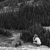
After meandering around three different sites, I settled down near an uprooted tree off of the nature trail. It’s one of the quieter outdoor spaces on campus, just far enough from bustling traffic and bustling people, enough to escape the mental cycles of busy-ness I often fall into. Standing, I can see the concrete half-cylinder skating rink just beyond the nature trail through the naked trees, and turning around, the tops of the Tritton and Kim dorms. It feels removed regardless, and I get the sense that I am in a distinct place, home to many others than myself. The snow around is filled with animal tracks. I’m excited to experience this sliver of forest emerge from winter and move through spring.
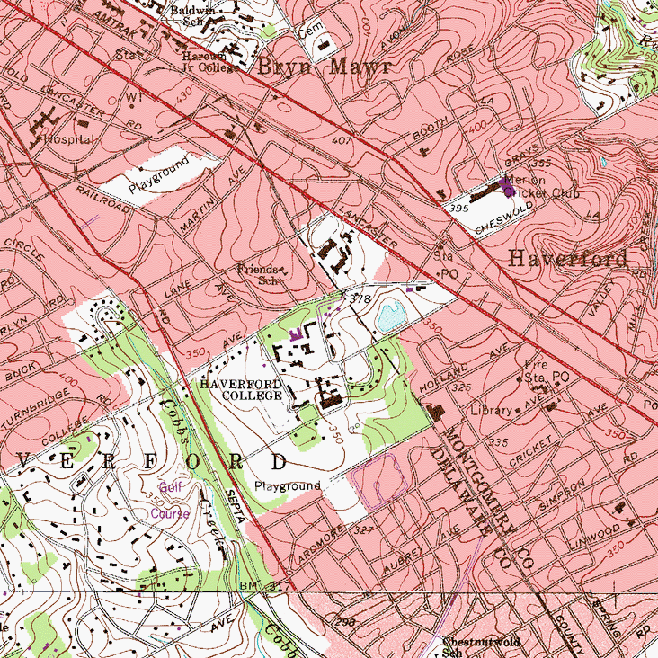
When facing East, this place slopes downward towards the nature trail, the creek flowing from the Duck Pond, and the skating rink. I was curious about how this forest’s topography and the topography of the region in general played out around it. Looking at the topographic maps, I see that the scape I’ve settled into is indistinguishable from other greenery. The forest has no name. Streets (given much more detail than the amorphous green-shaded forest) look almost arbitrarily placed on many of these terrain contours. I wouldn’t be able to find this scape had other human-made reference points been shown. The map here shows the closest topographic view of the scape—there in that green blob on the eastern edge of Haverford’s campus. That forest was evidently considered an unimportant detail on this map, and apparently its boundaries remain enclosed by the rest of campus and the Montgomery/Delaware County line. But when looked at from further, and further, and further, and even further away, I begin to see those details (or lack thereof) take a different shape when seen as part of a greater composition. The forest seems quite tiny in the midst of Philadelphia’s suburban sprawl, but undeniably it is situated in a much more rich spattering of woods and city.

